45 items
Activating this element will cause content on the page to be updated.
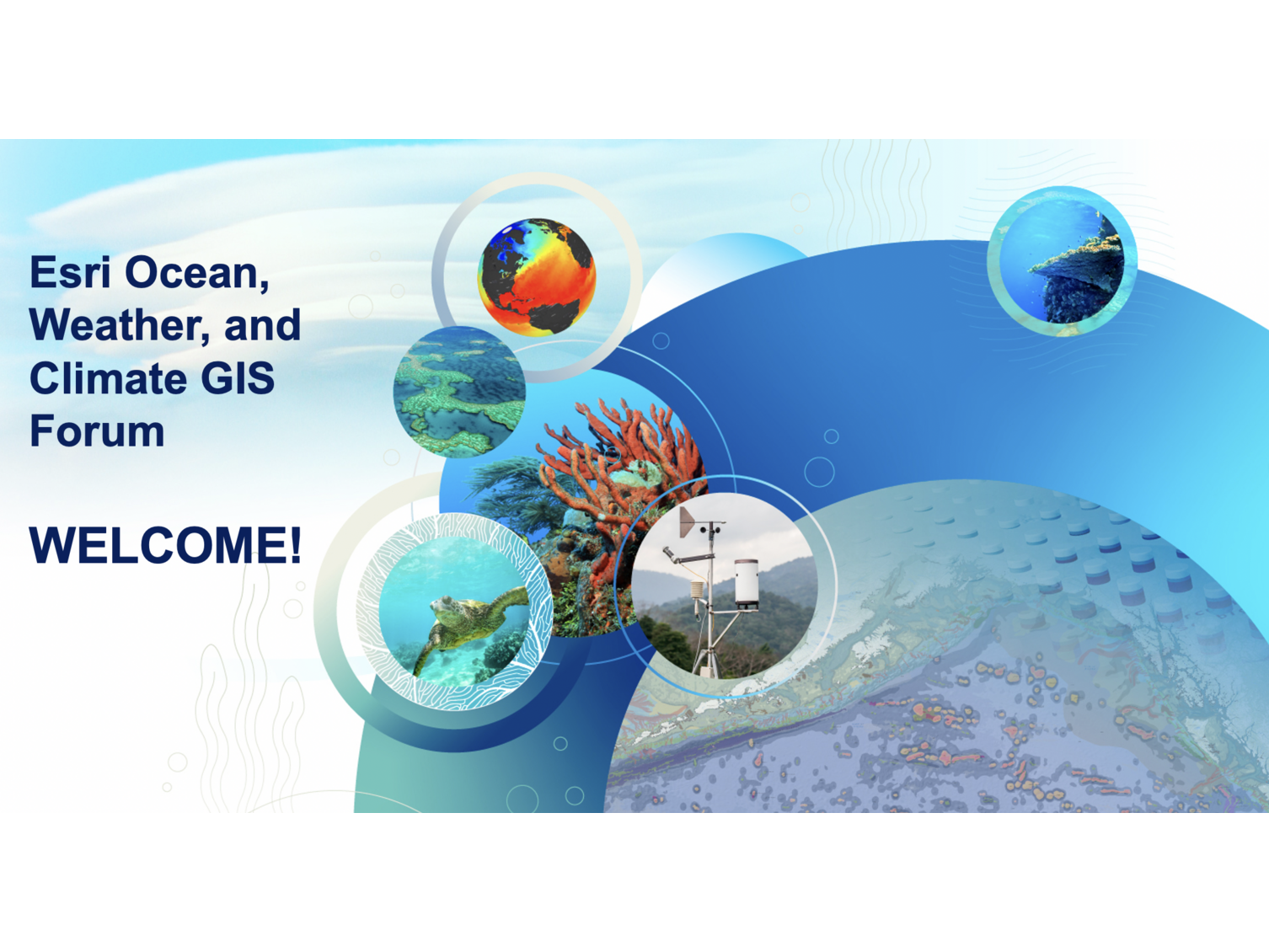
Esri's Virtual Ocean, Weather, and Climate GIS Forum
The 2020 event was virtual and complimentary, welcoming a growing community of professionals to share advances in: data collection, analysis, and communication of ocean and atmospheric science; climate science, adaptation and mitigation; ocean and coastal resource management, conservation and public safety; MetOcean monitoring, mapping and strategy; hydrographic surveying; ports and maritime operations, and more.